English version (German version below)
The Rheinsteig is a hiking trail following a mainly elevated path along the east bank of the Rhine River in Germany. The Rheinsteig passes through woodlands and vineyards, and has challenging ascents and descents.
The Rheinsteig is signposted with an “R” on a blue background. On the other hand, those with an “R” on a yellow background allows short hiking tour to enter specific towns or sign of interests.
The Rheinsteig is about 320 km (200 mi) long, connecting Bonn to Wiesbaden (North to South) and viceversa, and can be covered in several stages.
In 2020, I decided to cover it in 5 Stages during my running project https://www.emigrantrailer.com/2020/06/01/rheinsteig-with-two-flags-and-peppa-pig/
If you want to repeat the stages, here you can find the details of my routes:
Stage 1: from Wiesbaden-Biebrich to Rüdesheim am Main
Date: 11.06.2020
Distance: 57,3 km
Profil: 1472 m (+) and 1438 (-)
Route:
- https://www.suunto.com/move/andreadefilippo70/5ee253c4f470ea2fb8718439
- https://www.strava.com/activities/3598413059
GPX:
Stage 2: from Rüdesheim am Main to Sankt Goarshausen
Date: 20.06.2020
Distance: 55,1 km
Profil: 1941 m (+) and 1943 (-)
Route:
- https://www.suunto.com/move/andreadefilippo70/5eee2c8bbf9b7819859f97ca
- https://www.strava.com/activities/3644123078
GPX:
Stage 3: from Sankt Goarshausen to Koblenz-Ehrenbreitstein
Date: 24.06.2020
Distance: 68,1 km
Profil: 2520 m (+) and 2514 m (-)
Route:
- https://www.suunto.com/move/andreadefilippo70/5ef38b8c1f5ed303b686430b
- https://www.strava.com/activities/3665053392
GPX:
Stage 4: from Koblenz-Ehrenbreitstein to Leutesdorf
Date: 11.07.2020
Distance: 55,05 km
Profil: 1753 m (+) and 1777 m (-)
Route:
- https://www.suunto.com/move/andreadefilippo70/5f09d280f7b03c2ebe8033c7
- https://www.strava.com/activities/3746265756
GPX:
Stage 5: from Leutesdorf to Bonn
Date: 13.08.2020 (night) – 14.08.2020 (morning)
Distance: 89,6 km
Profil: 3160 m (+) and 3190 m (-)
Route:
- https://www.suunto.com/move/andreadefilippo70/5f3687b49d75c6619be17632
- https://www.strava.com/activities/3911553515
GPX:
General Notes: if you do these long stages in summer, I fully recommend to start with 2,5 L of water.
Enjoy the tracks!
Kind Regards
Andrea
Rheinsteig in Fünf Etappen (von Süden nach Norden)
German version
Der Rheinsteig ist ein Wanderweg entlang eines überwiegend erhöhten Weges am Ostufer des Rheins in Deutschland. Der Rheinsteig führt durch Wälder und Weinberge und hat herausfordernde Auf- und Abfahrten.
Der Rheinsteig ist mit einem „R“ auf blauem Grund ausgeschildert. Auf der anderen Seite ermöglichen diejenigen mit einem „R“ auf gelbem Grund eine kurze Wanderung, um bestimmte Städte oder Zeichen von Interessen zu betreten.
Der Rheinsteig ist etwa 320 km lang und verbindet Bonn mit Wiesbaden (Norden nach Süden) und umgekehrt. Er kann in mehreren Etappen laufen werden.
Im Jahr 2020 habe ich beschlossen, es während meines laufenden Projekts in 5 Etappen laufen https://www.emigrantrailer.com/2020/06/01/rheinsteig-with-two-flags-and-peppa-pig/
Wenn Sie die Etappen wiederholen möchten, finden Sie hier die Details meiner Routen:
Etappe 1: von Wiesbaden-Biebrich nach Rüdesheim am Main
Datum: 11.06.2020
Distanz: 57,3 km
Höhemeter: 1472 m (+) and 1438 (-)
Route:
- https://www.suunto.com/move/andreadefilippo70/5ee253c4f470ea2fb8718439
- https://www.strava.com/activities/3598413059
GPX:
Etappe 2: von Rüdesheim am Main nach Sankt Goarshausen
Datum: 20.06.2020
Distanz: 55,1 km
Höhemeter: 1941 m (+) and 1943 (-)
Route:
- https://www.suunto.com/move/andreadefilippo70/5eee2c8bbf9b7819859f97ca
- https://www.strava.com/activities/3644123078
GPX:
Etappe 3: von Sankt Goarshausen nach Koblenz-Ehrenbreitstein
Datum: 24.06.2020
Distanz: 68,1 km
Höhemeter: 2520 m (+) and 2514 m (-)
Route:
- https://www.suunto.com/move/andreadefilippo70/5ef38b8c1f5ed303b686430b
- https://www.strava.com/activities/3665053392
GPX:
Etappe 4: von Koblenz-Ehrenbreitstein nach Leutesdorf
Datum: 11.07.2020
Distanz: 55,05 km
Höhemeter: 1753 m (+) and 1777 m (-)
Route:
- https://www.suunto.com/move/andreadefilippo70/5f09d280f7b03c2ebe8033c7
- https://www.strava.com/activities/3746265756
GPX:
Etappe 5: von Leutesdorf nach Bonn
Datum: 13.08.2020 (Abend) / 14.08.2020 (Morgen)
Distanz: 89,6 km
Höhemeter: 3160 m (+) and 3190 (-)
Route:
- https://www.suunto.com/move/andreadefilippo70/5f3687b49d75c6619be17632
- https://www.strava.com/activities/3911553515
GPX:
Allgemeiner Hinweis: Wenn Sie diese langen Etappen im Sommer absolvieren, empfehle ich dringend, mit 2,5 L Wasser zu beginnen.
Genieße die Wegen!
Mit freundlichen Grüßen
Andrea De Filippo
Photo Gallery – Stage 1

(km 0)

(km 17)
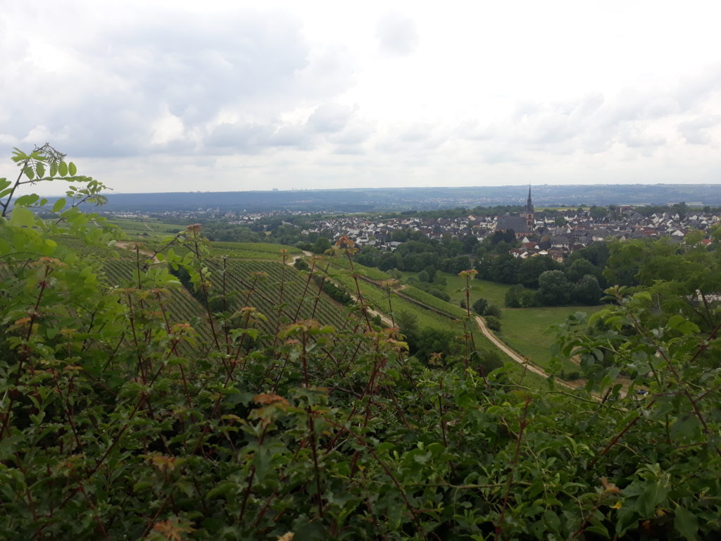
(km 26)
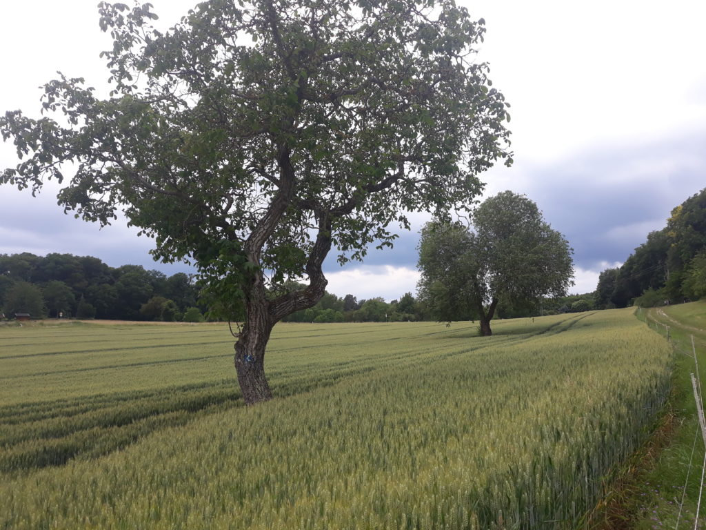
(km 42)
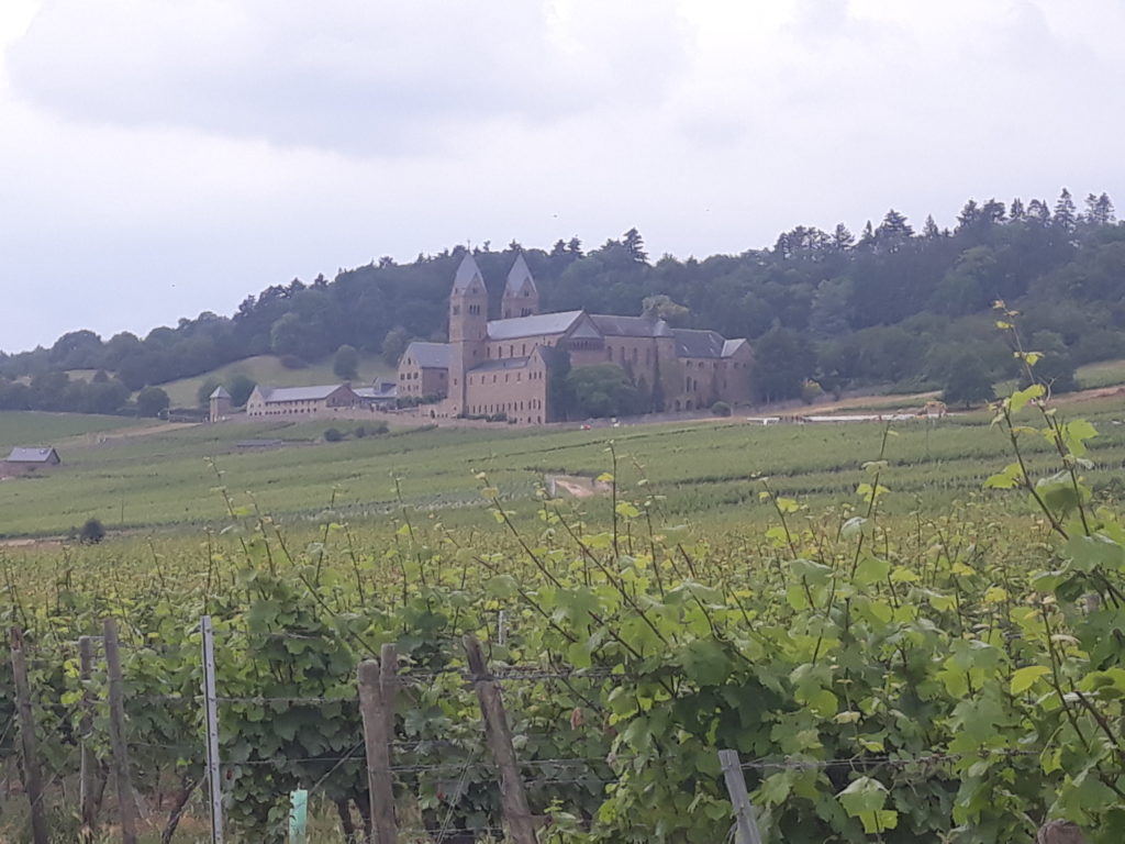
(km 53)
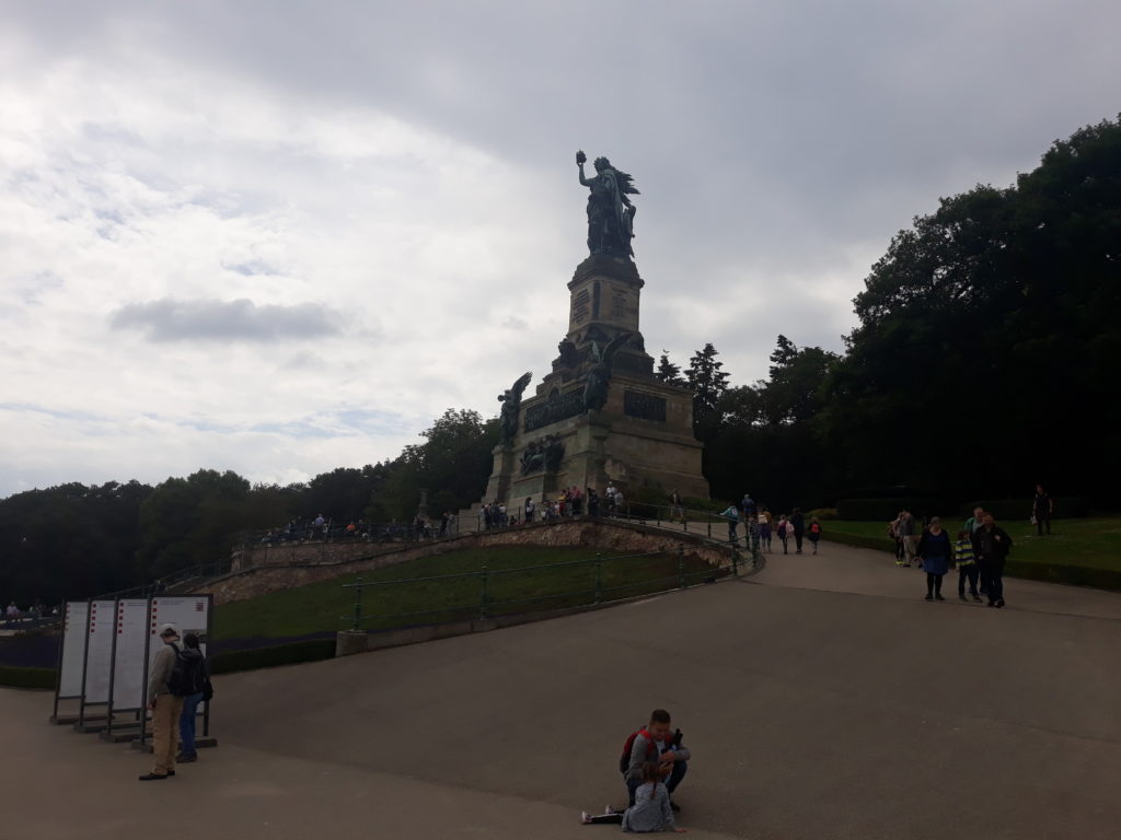
(km 56)
Photo Gallery – Stage 2
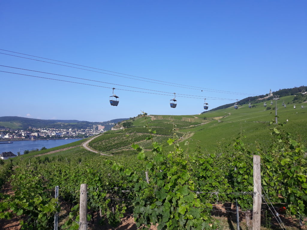
(km 1)
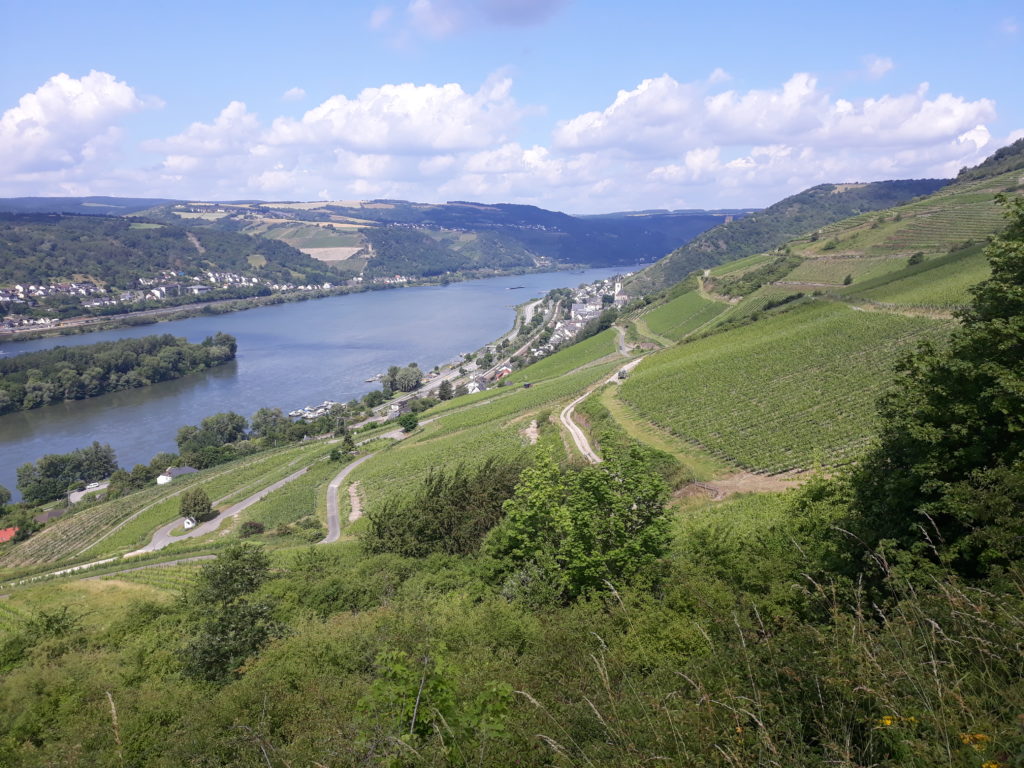
(km 21)
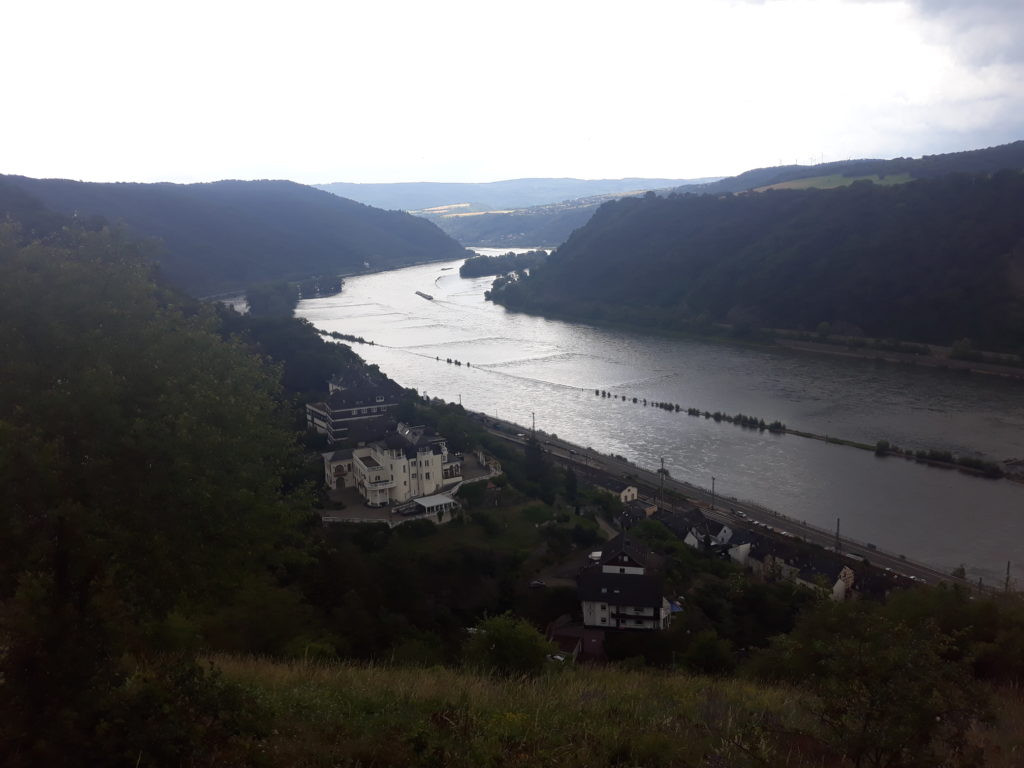
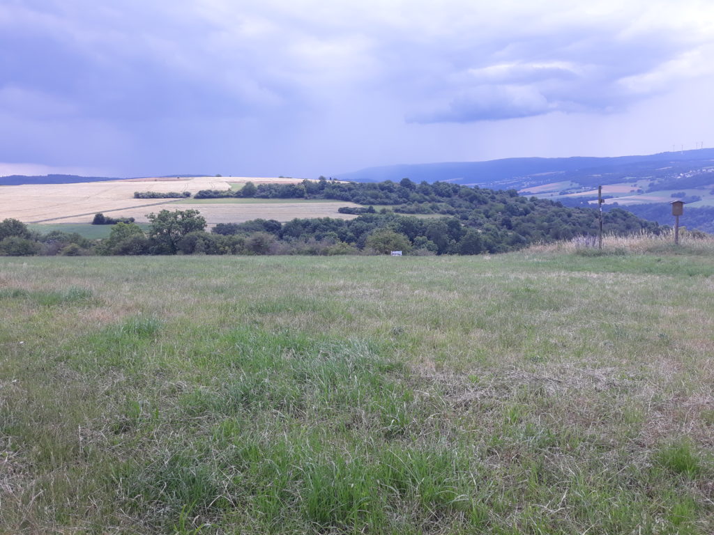
(km 40)

(km 43)
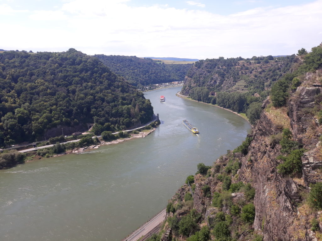
(km 50)
Photo Gallery – Stage 3
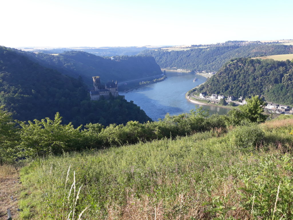
(km 2)
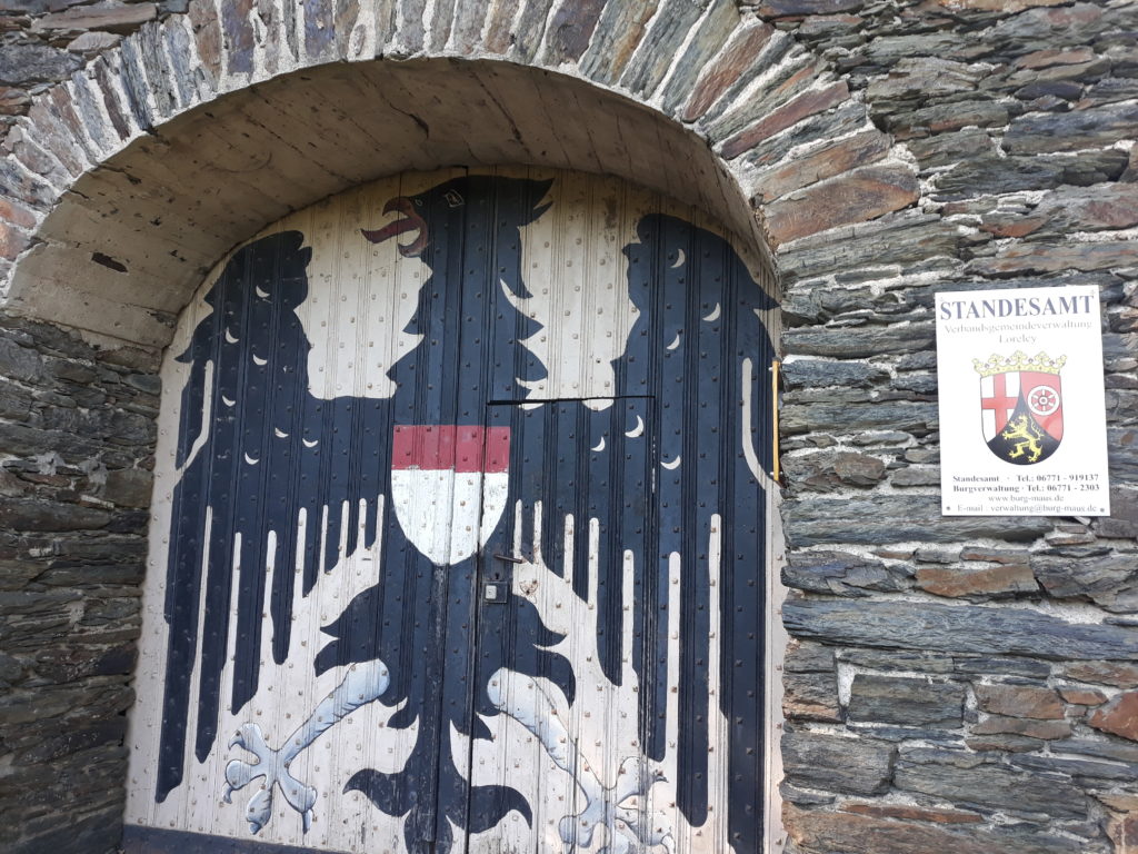
(km 10)
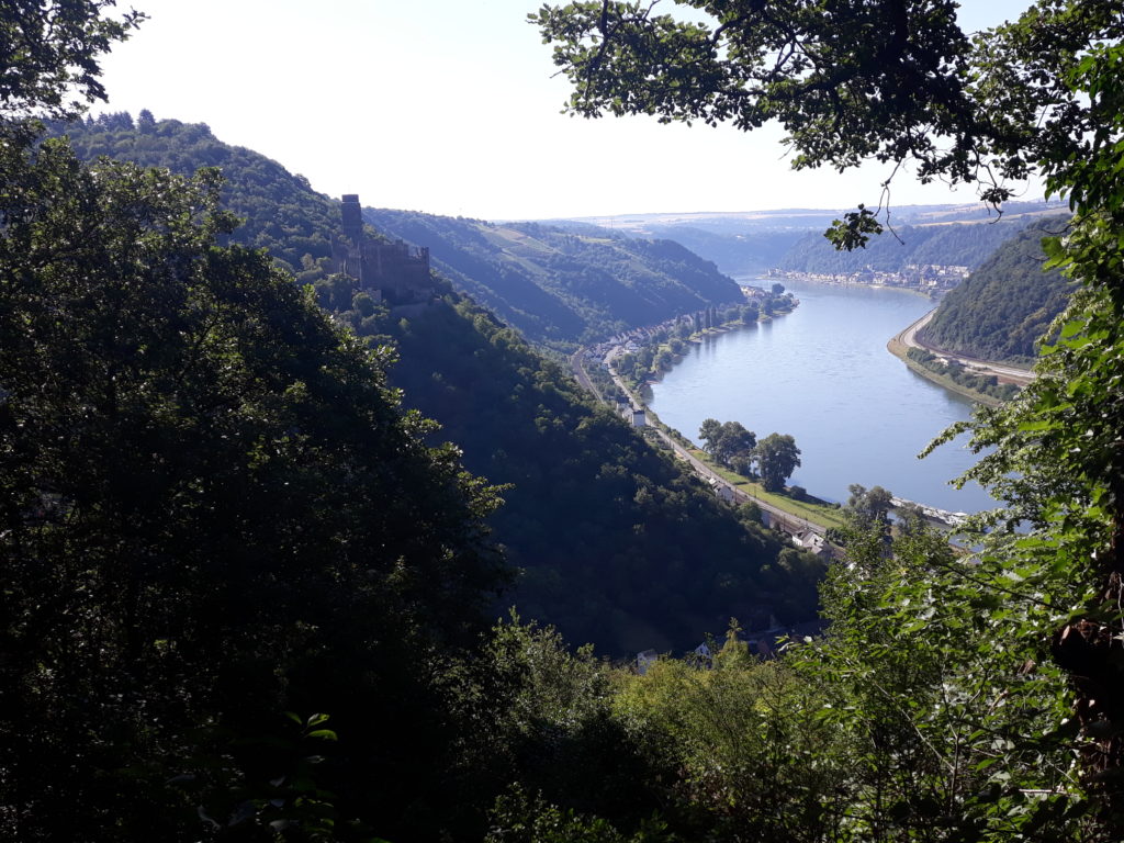
(km 14)
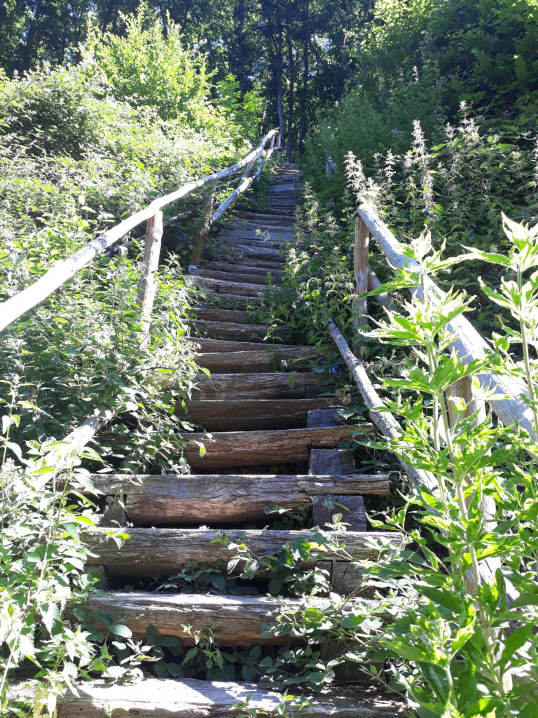
(km 24)
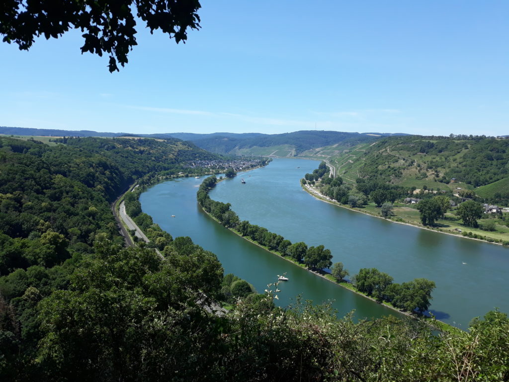
(km 39)
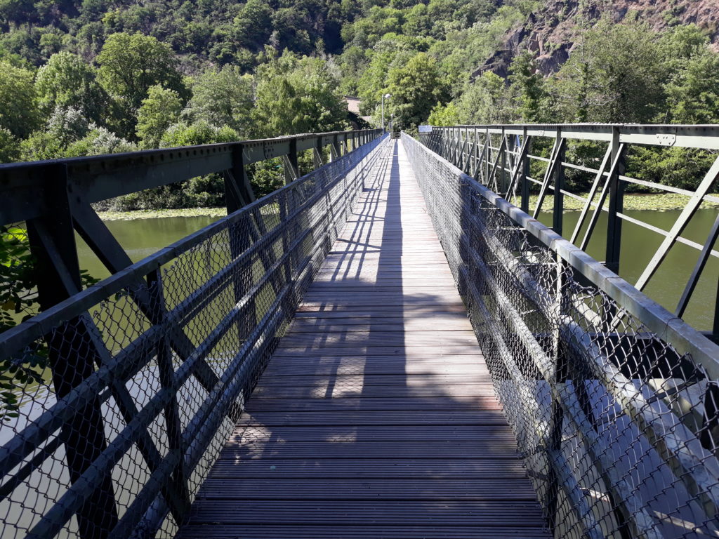
(km 54)
Photo Gallery – Stage 4

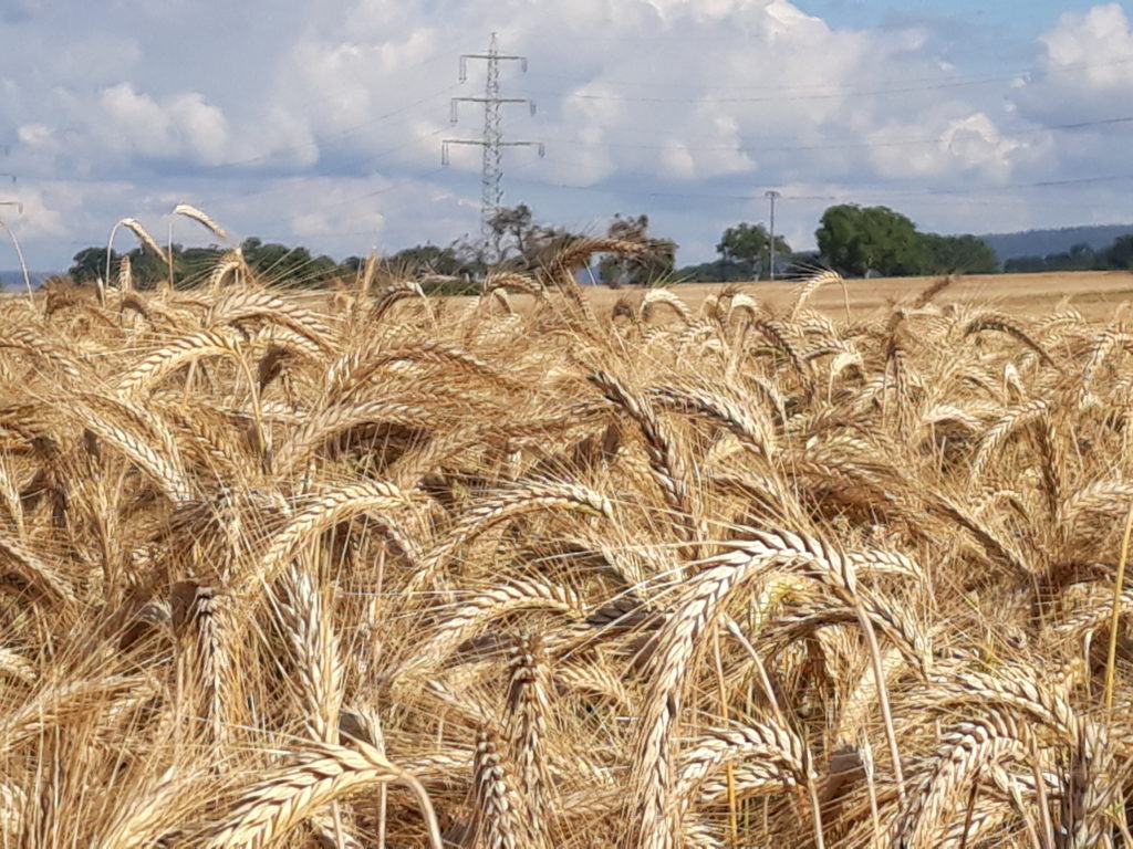


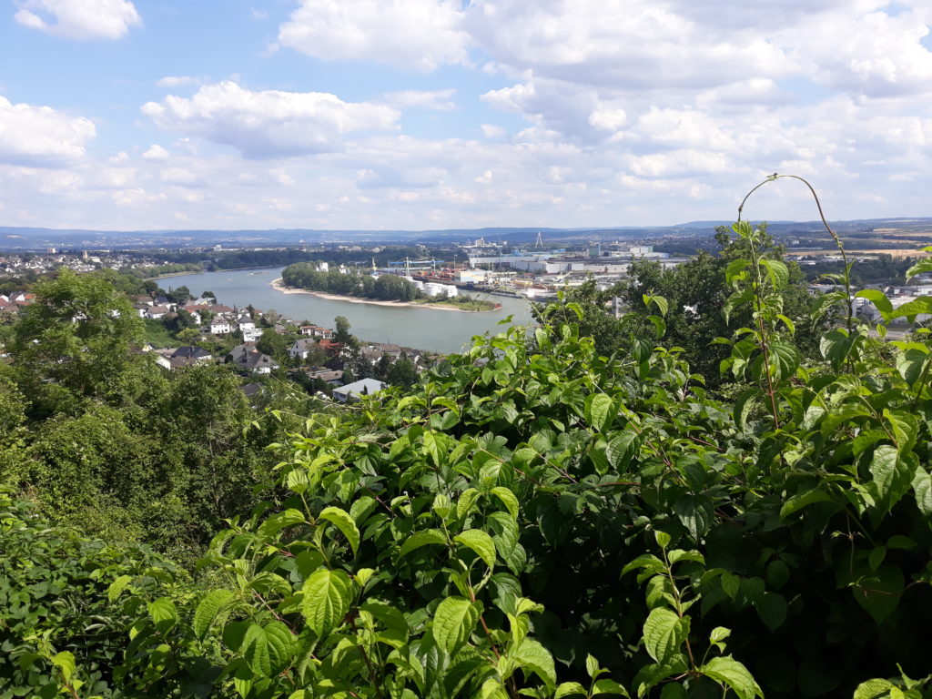
Photo Gallery – Stage 5

(km 0)
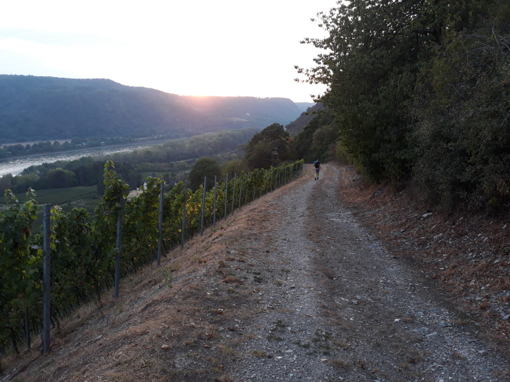
(km 8)
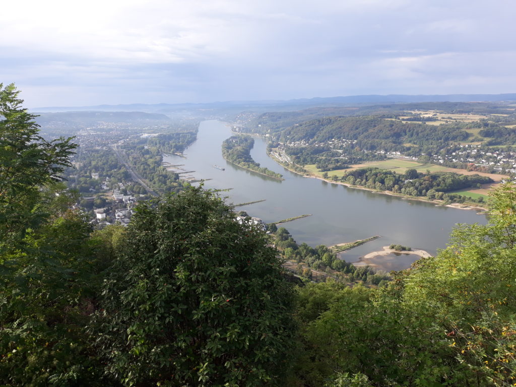
(km 66)
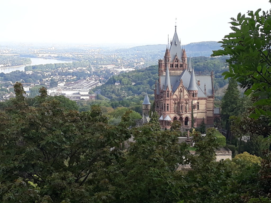
(km 68)
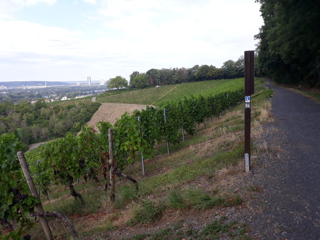
(km 76)
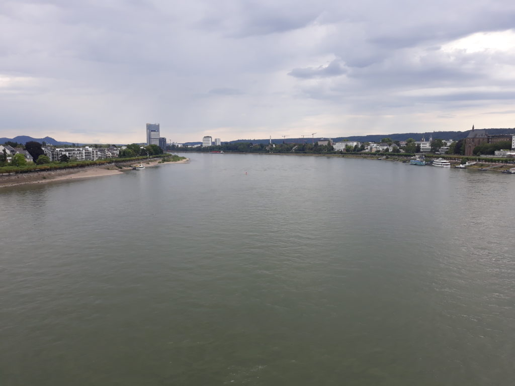
(km 88)
Related projects and articles
If you are interested to discover other interesting trail running routes in Germany, you might find of interest to look at the following link: Trail Running (and hiking) to explore Germany | EmigranTrailer


