
Location: Heidelberg, Baden Württemberg, Germany
Description
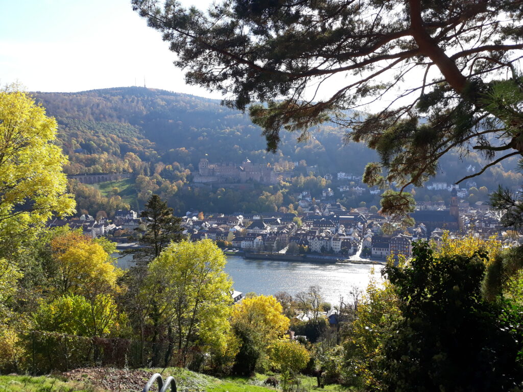
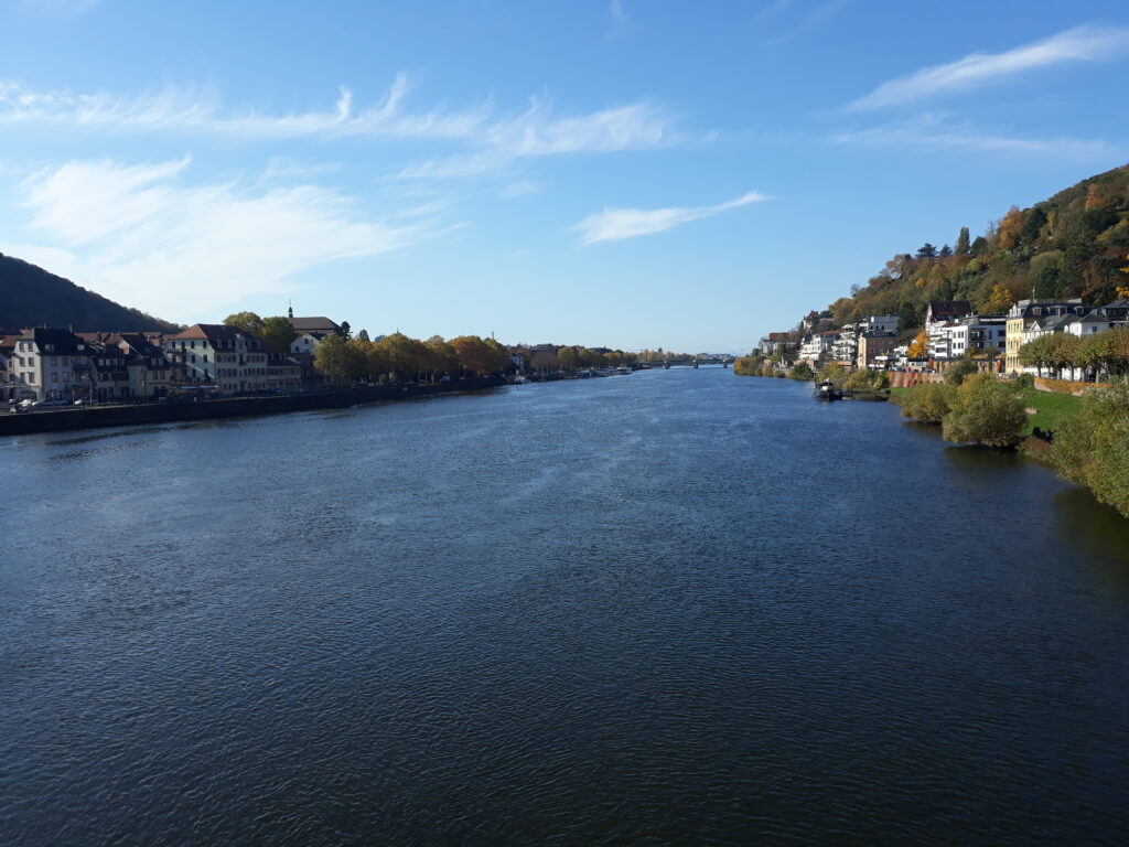
Heidelberg is one of my favorite cities in Germany. It is famous for the old university and for many other historical places, like the castle and the cathedral. However, its location along the river Neckar and between the Königssthul and the Gaisberg mountains makes it as a perfect place for trail-running.
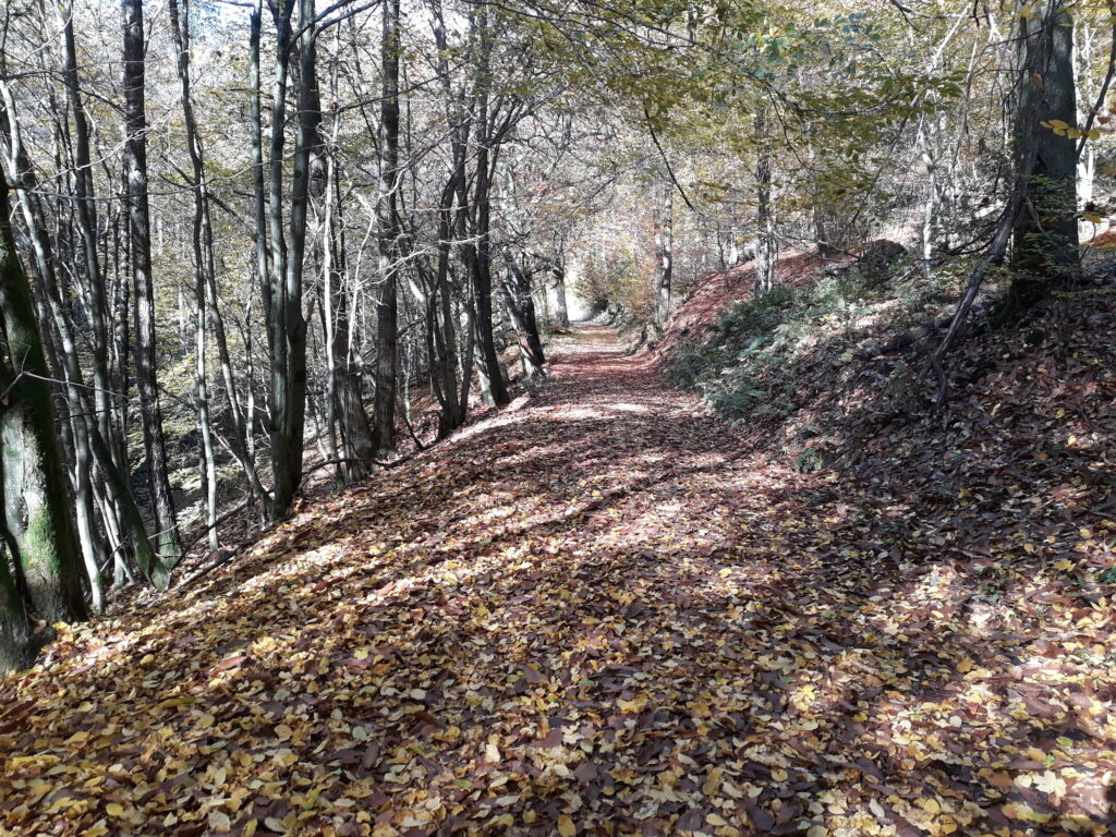
The last sunny day of October motivated me to spend some hours along the tracks surrounding the city, enjoying its top-down view.
I did not follow any of the several marked tracks. I just run spontaneously.
I started few hundred meters before the Alte Brücke, crossed it and turned right until reaching Hirschgasse road. I continued along this uphill road, finally entering the forest at the famous Philosopherweg: from here you can really appreciate one of the best views of the city.
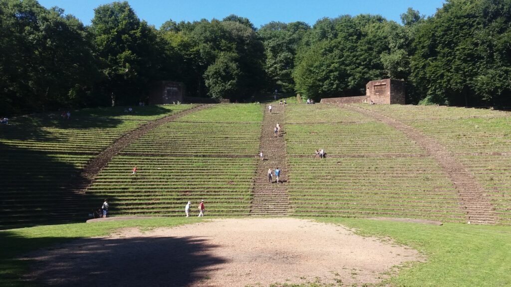
The uphill continued until reaching the amphitheater (Thingstätte), almost at the top of the Heiligenberg (440 m) and just after 5 km.
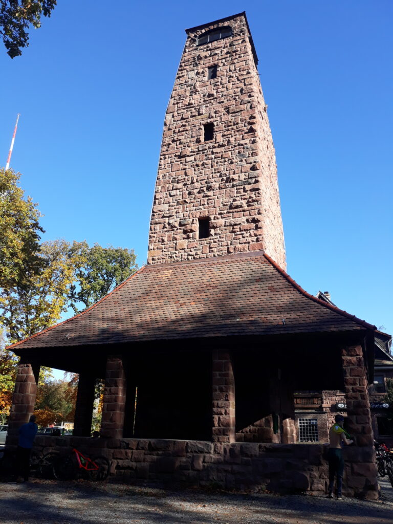
The following section was downhill, towards the Waldparkplatz “Turnerbrunnen”, next to the end of the Mühltal. I turned right and I began the second-long uphill of the day: about 4 km with more than 300 hundred meters of elevation gain. It ended at the Weißer Stein (548 m), dominated by the 20 m tall lookout tower.
The next 3 km were easy, almost downhill until I reached the Länger Kirschbaum (west) where, with a sharp right-turn, I began the real uphill portion, in the direction of Heidelberg.
After about 8 km, some short up & down, I arrived at the Neuburg Abbey. I decided to return to Heidelberg remaining on the right side of the Neckar in order to enjoy, as much as possible, the sun. Therefore, I ran along the bike-route until reaching the pedestrian path over the dam. On the other side, I ran shortly through the old city and then I ran uphill to do a small loop around the Heidelberg castle, eventually returning to the city center using the steep stairs at Kurzer-Buckel.
I stopped the clock after about 3h13’, covering about 27 km and 1000m of elevation gain.
General Information
Activity type: trail-running
Start Date: 31/10/2020
Start Time: 11:22 a.m.
Start Point: Heidelberg city center
Altitude (at start): ca 100 m a.s.l.
Altitude (at highest point): 550 m a.s.l.
Cumulative Gain+: ca 960 m
Cumulative Loss -: ca 960 m
Distance: ca 26,8 km
Air Temperature (average): ca 17°C
Weather Conditions: sunny
Maps & GPS:
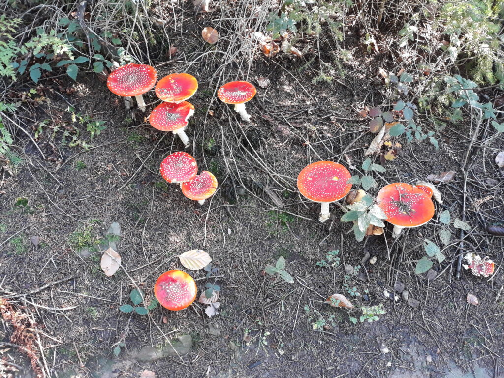
Photos & Videos
Additional Information
If you want more information or technical details related to this mountain path, please do not hesitate to contact me or comment below.
Enjoy the Trail-Running!
Andrea De Filippo
_____________
Other ideas to explore trails and hiking routes in Germany at the following link: Trail Running (and hiking) to explore Germany | EmigranTrailer


